Eagle Greenbelt
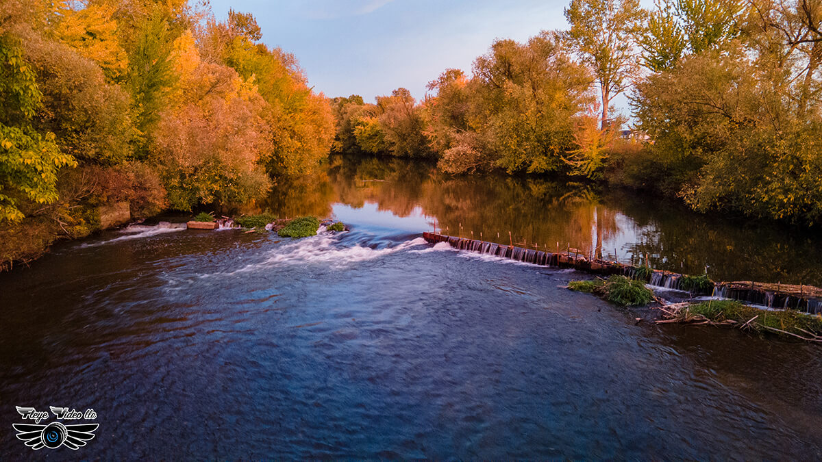
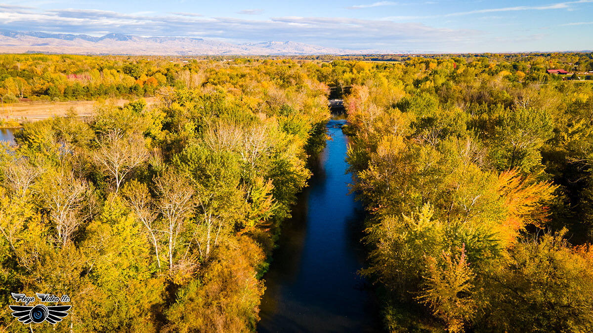
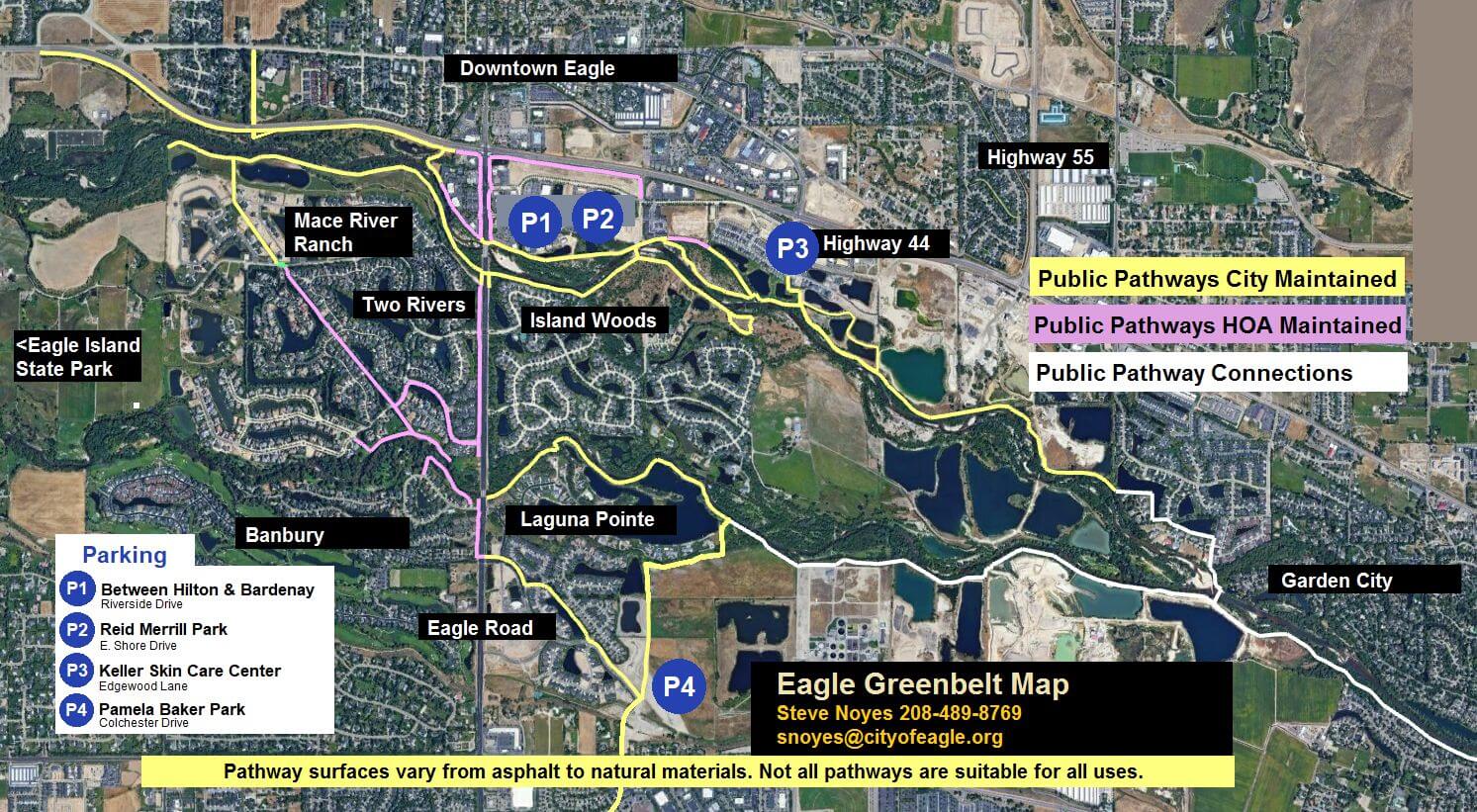
The Boise River Greenbelt, a 25-mile long bicycle and pedestrian trail linking over 850 acres of parks and natural areas along the Boise River. Connecting from Eagle Island State Park in Eagle through Downtown Boise, and ends at Lucky Peak Recreation Area. The tree-lined pathway allows for scenic views, wildlife habitat, and access to many of the city’s popular parks and fishing spots.
Trail Operating Hours: Dawn to Dusk
Please visit City of Eagle’s Trails and Pathways for additional useful information. From trail etiquette, report a problem, questions, trails and pathways master plan, bike routes in Ada County, maps, volunteer and so much more.


